Mud & Sand...
...a notation that appears frequently on the Ordnance Survey map of the Bristol Channel. It is also a pretty succinct description of the coast here.
When the sediment rich waters of Britain’s longest river merge with a sea that is subjected to the second largest tidal range in the world, it is inevitable that some remarkable coastal landscapes are formed.
This series of photographs explores the unusual and often maligned aesthetic of a coastline defined by miles of mudflats and salt marsh. It is a landscape rich with patterns that are constantly remoulded by tidal forces, and wet surfaces that reflect whatever drama is being played out in the skies above...

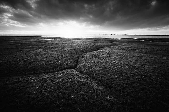
Salt marsh, high spring tide. Skern, Devon.

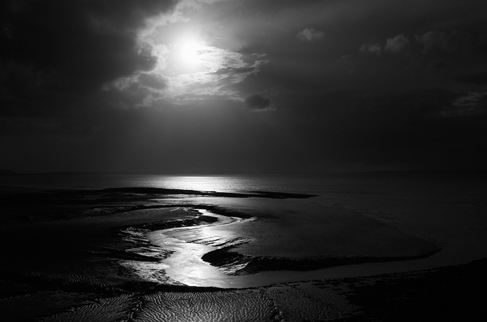
Wet sand. Berrow Flats, Somerset.

River Parratt Estuary, Somerset.
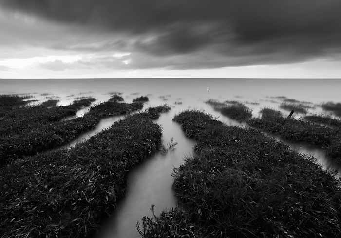
Clevedon Pill, Somerset.

Mudflats. Sand Bay, Somerset.

Rain approaching Burnham Beach. Burnham-on-Sea, Somerset.

Mudflats. Sand Bay, Somerset.

Mudfalts, ebbing spring tide. Somerset.
Salt marsh, flooding spring tide. Somerset.
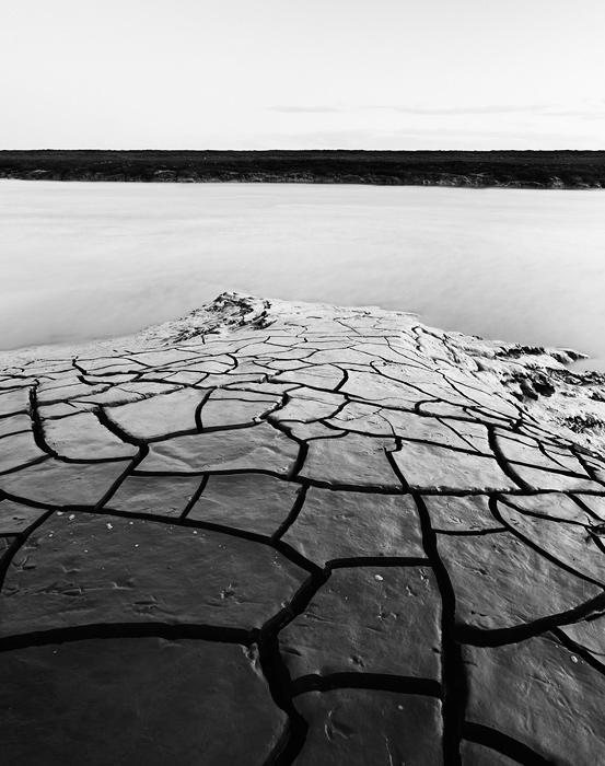
Cracked mud, banks of the River Axe. Uphill, Somerset.
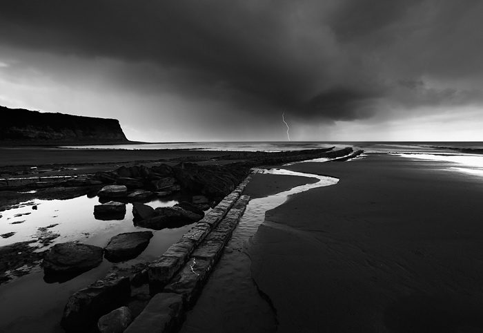
Storm approaching St Audrie's Bay, Somerset.
Salt Marsh, River Parrett Estuary

Muddy channel through salt marsh. River Parrett Estuary
To view larger files, please visit this page of my website here.

